Latitude
Geographic coordinate specifying north-south position
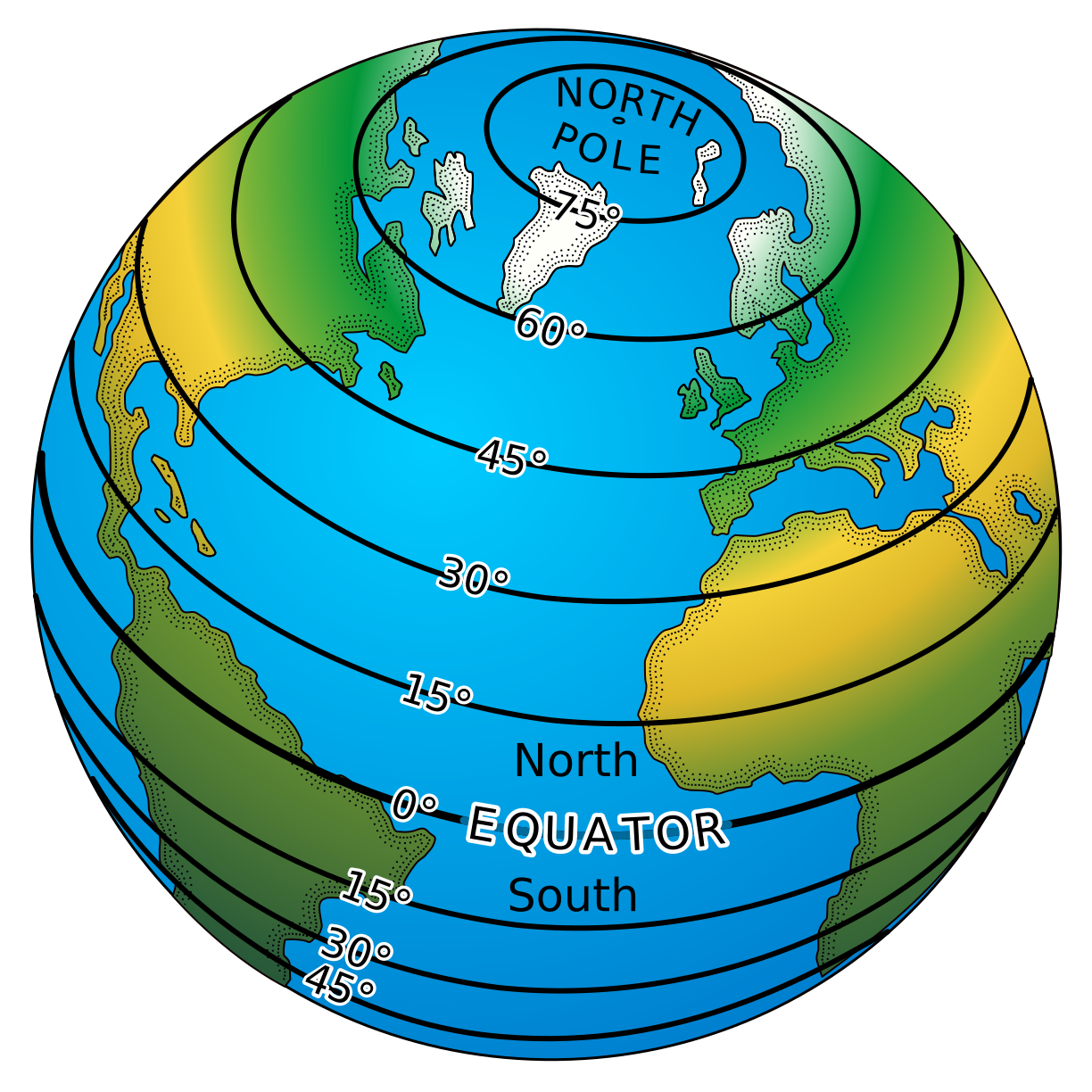
In geodesy and cartography, latitude is a geographic coordinate that specifies the north-south position of a point on the surface of the Earth or another celestial body. Latitude is given as an angle that ranges from −90° at the south pole to 90° at the north pole, with 0° at the Equator. Lines of constant latitude, or parallels, run east-west as circles parallel to the equator.
From Wikipedia, under CC BY-SA. More on occurri.